Penang Island is often described as a turtle shaped island, with four flippers, the head (Batu Ferringghi) and an almost rectangular shaped body. So where’s its tail? All the way down south, between Teluk Kumbar and Bayan Lepas, is where Penang’s little tail is. It is also a small area of forest and rubber shielded away from the ever growing development woes of the island. While unknown to most hiking circles, it makes a good walk (except for certain parts where the trail disappears)
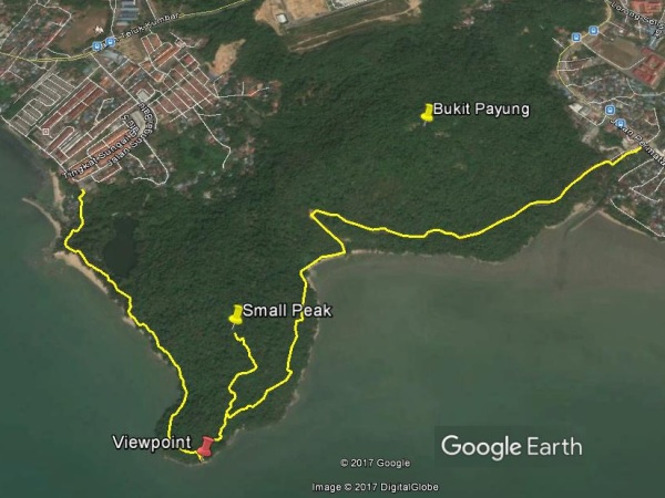
The point marked as ‘Viewpoint’ is ‘The Tail of Penang Island’
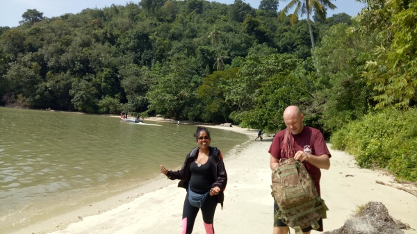
We started in Sungai Batu, at the beautiful Teluk Bayu Beach. The usual Hiking ‘Kakis’, me and Peter had the company of a lady, Mohanah on this hike. While the hike was anything but ladylike, the both of us were impressed that she did it with relative ease and 0% complains!
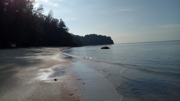
Teluk Bayu Beach, one of the most gorgeous beaches in Penang Island. ‘The tail of Penang’ is the forested cape in the far end of the picture.
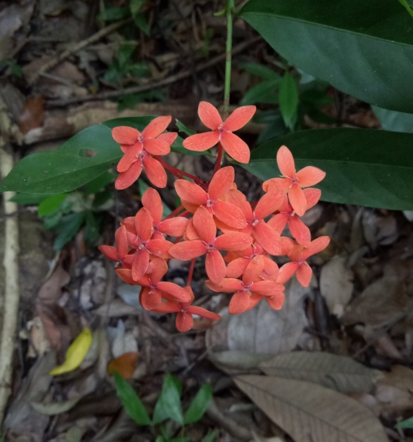
Wild Ixoras
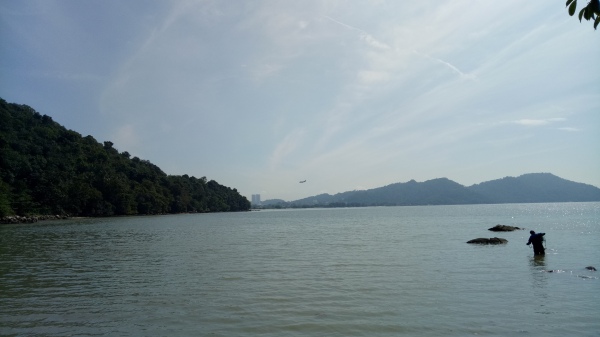
In about half an hour we walked over the beach and through the jungle and came out at a viewpoint (a huge rock) which was the very tip of Penang’s Tail. Beautiful views of Penang’s Southern seas and every 20 minutes, planes fly across, to land at Penang International Airport. It was a beautiful view indeed and one that I will always cherish.

A Plane! A Plane!
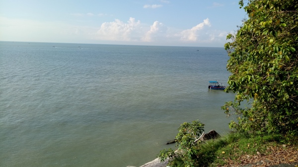
Numerous fishing boats dotting the Southern Seas. If the Penang State Government’s plans for reclamation to create three new islands in the Southern Coast gets its way, this and many other gorgeous view will be history.
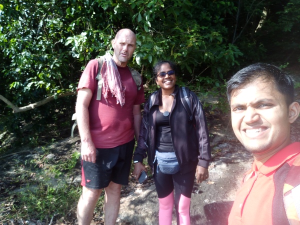
Hiking Kakis for the day: Peter, Mohanah and yours truly, Rexy
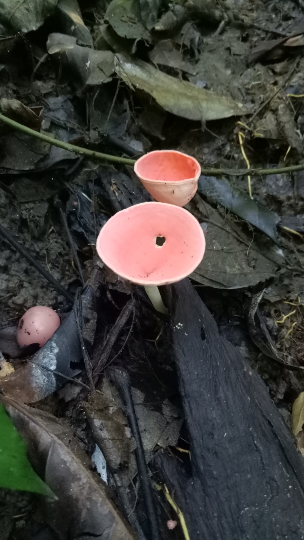
Fungi, possibly Cookenia sp
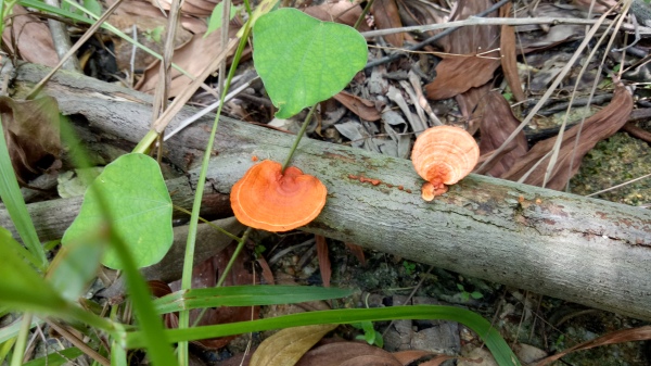
Bracket Fungus
The hike continued from the viewpoint, in a northeast direction. The trail ran out at various points and we were forced to bash our way through the thick rubber and shrubbery. With some help from Mr GPS as well as a few ‘I think its this way’ from me and Peter, we made it out to the next beach, a rather hidden one, cut off from the rest by the hills. I haven’t found its name yet, so I’ll call it the ‘Secret Beach’
Coming out at the ‘Secret Beach’, we were the only odd hikers there as only the fishermen seem to know it.
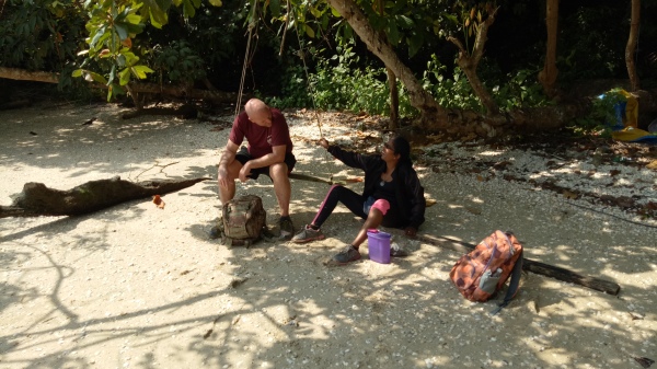
We found a wonderful swing there and proceeded to take a good rest and of course feast on some snacks.
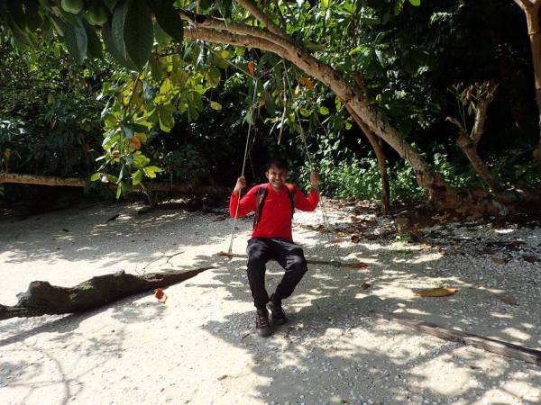
Photo credits:Peter Van Der Lans
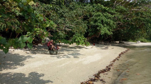
The bliss of a Saturday morning, on the beach.
We spent some time at the Secret beach before continuing along the seafront (in a Northeastern direction). A clear trail started at the end of the beach and we followed it as it winded up the hill and went eastward to Kampung Binjai, in Permatang Damar Laut. The journey took about 2 and a half hours and was indeed a great hike by the sea!
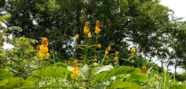
Yellow flowers (possibly a legume) as we walked along the trail. A pleasant sight indeed!

Hi Rexy, Mizrah and Prakash (I’m sure I got your name correct — daresay with high confidence since I’m from multi-cultural S’pore 🙂 .
I just stumbled onto your site as I was researching for G Jerai hike (found your Dec 2, 2013 article) and very very glad to explore your other postings.
If ever, no make it when I visit Penang (maybe 2019), I hope to be able to arrange for some hikes with you and meet the Voodoo Lady, er Lily 🙂
Hey, in the meantime I’ve clicked “Notify me of new comments via email” and looking forward for next posting….
Hi Kin Hua,
My name is Rexy Prakash for the record. Mizrah just means East.
Sure. Voodoo lily rarely flowers but if you do come about the right time, perhaps you might be lucky!
Sure. Thanks for following.
See you soon!